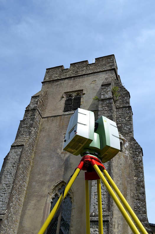
The latest advance in Surveying technologies now available to the mass market. 3D laser scanning enables our Surveyors to attain an unrivalled amount of data collection using remote means, without sacrificing any of the accuracies achieved by more traditional Surveying methods.
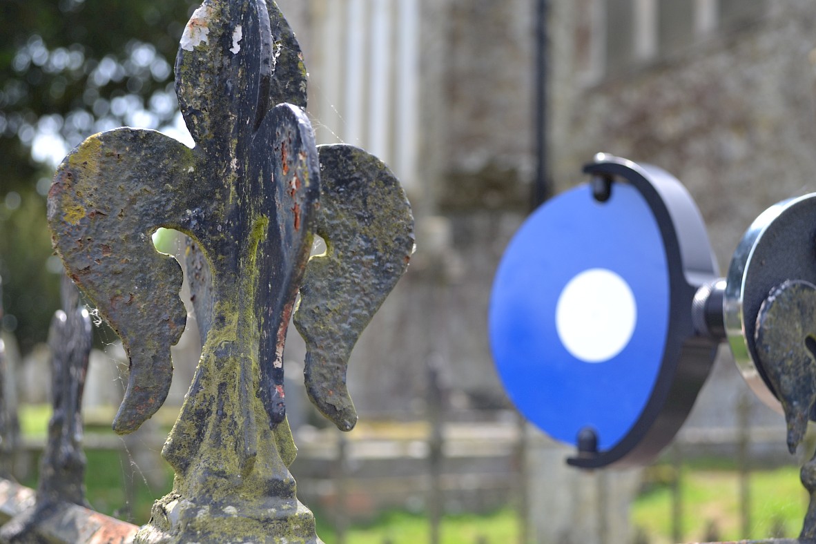
This is an unobtrusive and remote method of Surveying to quickly collate thousands/millions of points and build up a 3D point cloud of any given structure or surface. This point cloud can then be interrogated or digitised to provide a very detailed survey product, or issued as a block of data for modelling purposes.
We have invested in a top of the range Leica C10 ScanStation which can collect 1 million points per second and will operate in most weather conditions to allow us to obtain blanket coverage of the detail on site.
The 3D laser scanning market is one of the fastest growing in the industry, and has applications across Architecture, Engineering, Planning & Investigation.
R L Surveys Ltd is Registered in England & Wales
No. 07706617 Registered Office: 128 Lakemead, Ashford, Kent. TN23 4XZ
R L Surveys Ltd are VAT Registered.