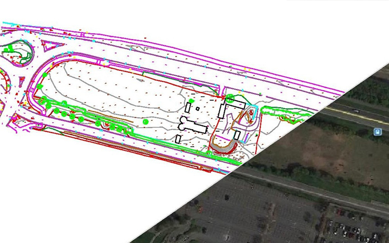
Type: Topographical Survey
Requirements: Full 3D topographical survey including underground service tracing of the main road between the roundabouts, the bus lane to the south, and the land in the central area.
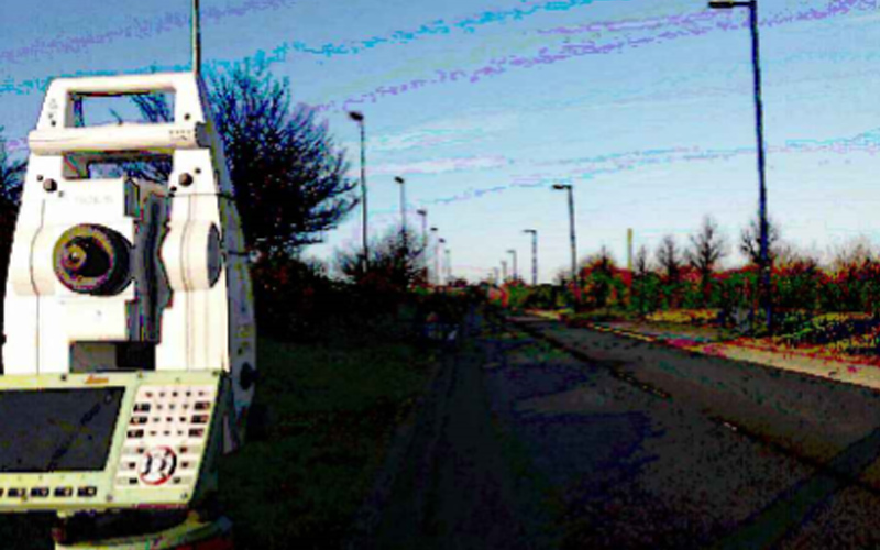
Methodology: Undertake a forced centre traverse around the external roads to provide a fully georeferenced control network tied into Ordnance Survey grid and datum. With this framework in place our Surveyors were able to collect the pertinent site data using a TS16 Leica Total Station in tandem with a Leica GPS with SmartNet capabilities.
This fully coded and referenced information was then downloaded and processed through our software to create a full 3D AutoCAD plan of the site. This information was used to complete the utility mapping of the site.
R L Surveys Ltd is Registered in England & Wales
No. 07706617 Registered Office: 128 Lakemead, Ashford, Kent. TN23 4XZ
R L Surveys Ltd are VAT Registered.